
Файл:DSC28372, Cannery Row, Monterey, California, USA (6062142304).jpg
Исходный файл (2736 × 3648 пкс, размер файла: 2,48 Мб, MIME-тип: image/jpeg)
| Cведения об этом файле находятся на Викискладе?, хранилище изображений и мультимедиа для использования во всех проектах Фонда Викимедиа |
.jpg?uselang=ru)
Краткое описание
| Описание |
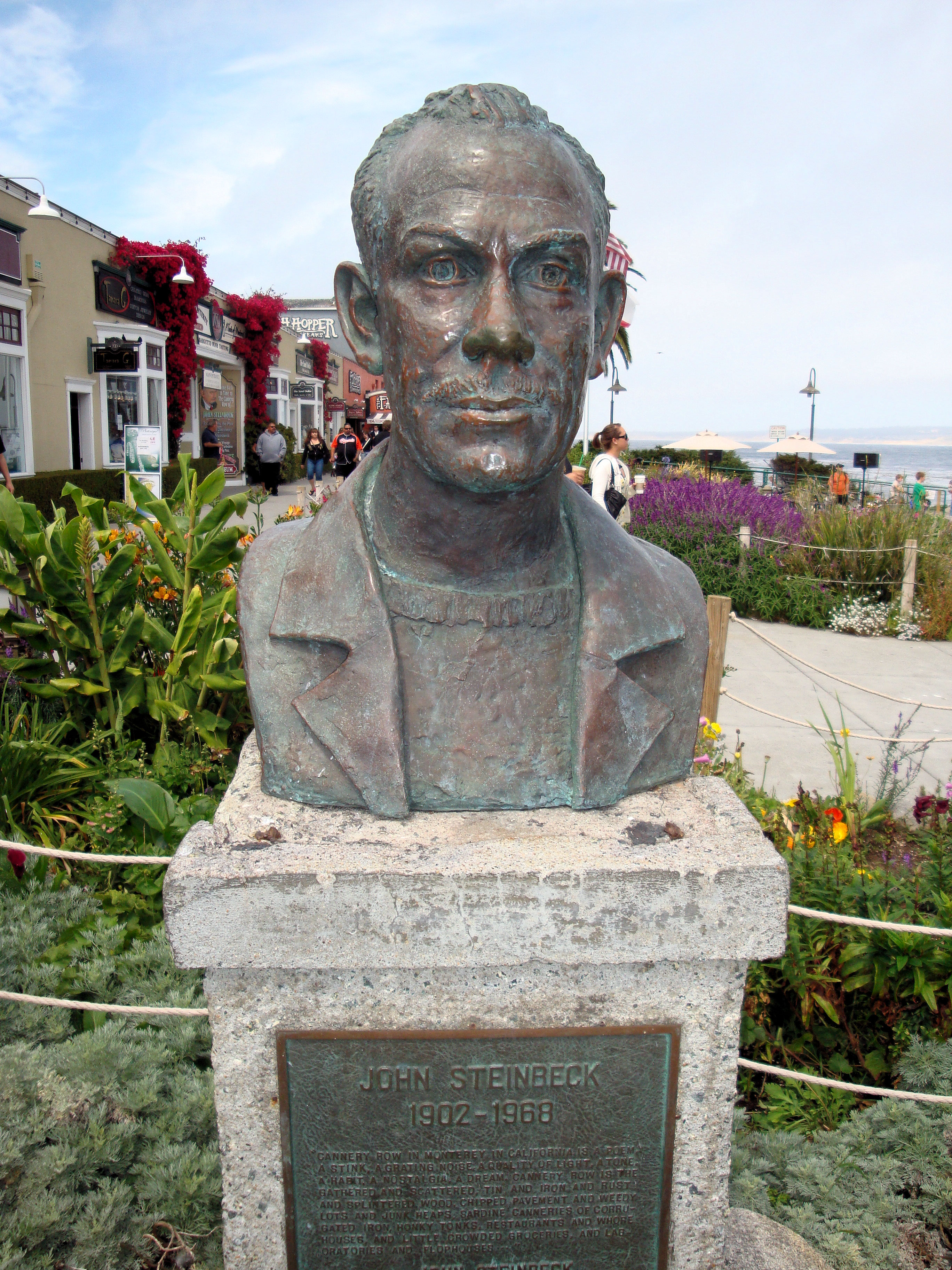
Welcome to Cannery Row, one of the most beautiful coastal areas in the country. Monterey visitors rank Cannery Row as their favorite spot on the Peninsula. Immortalized by John Steinbeck’s classic novel, Cannery Row’s world-renowned heritage is found in the distinctive architecture that is reminiscent of earlier days. The cross-overs that used to carry sardines are now your path to a wealth of exciting shopping and dining experiences. The Monterey Bay National Marine Sanctuary is one of our nation’s treasured underwater parks. Each of the 14 marine sanctuaries protects a special underwater or coastal environment. The Sanctuary extends an average of 35 miles offshore, covers over 5300 square miles, and possesses an astonishingly diverse array of marine life, including 26 species of marine mammals, 345 species of fish and 4 species of turtles. Cannery Row is an ocean side playground filled with fun for everyone. Outdoor recreation abounds on land and in the water. Visitors are invited to explore the beauty of Monterey Bay’s rocky shores and marine life with kayaking, diving and tide pooling. The lineup of restaurants on the Cannery Row includes award winners and who’s who in the world of culinary trends. You will find temptations for every craving with a collection of restaurants ranging from casual to gourmet. Cannery Row has long been known as the place to go for distinctive souvenirs of the Monterey Peninsula. What has always remained constant on Cannery Row is the presence of small, independently owned stores, which carry items you are not likely to find anywhere else. |
| Дата | |
| Источник |
DSC28372, Cannery Row, Monterey, California, USA
|
| Автор | Jim G from Silicon Valley, CA, USA |
| Местоположение камеры | | Это и другие изображения по их местоположению на OpenStreetMap |
|---|
.jpg¶ms=036.617336_N_-121.901378_E_globe:Earth_type:camera_source:Flickr_&language=ru)
Лицензирование
- Вы можете свободно:
- делиться произведением – копировать, распространять и передавать данное произведение
- создавать производные – переделывать данное произведение
- При соблюдении следующих условий:
- атрибуция – Вы должны указать авторство, предоставить ссылку на лицензию и указать, внёс ли автор какие-либо изменения. Это можно сделать любым разумным способом, но не создавая впечатление, что лицензиат поддерживает вас или использование вами данного произведения.
| Это изображение, изначально опубликованное на Flickr, было досмотрено 31 марта 2013 администратором или доверенным пользователем File Upload Bot (Magnus Manske), который подтвердил, что на тот момент оно было доступно на Flickr на условиях указанной лицензии. |
История файла
Нажмите на дату/время, чтобы увидеть версию файла от того времени.
| Дата/время | Миниатюра | Размеры | Участник | Примечание | |
|---|---|---|---|---|---|
| текущий | 16:09, 31 марта 2013 | | 2736 × 3648 (2,48 Мб) | File Upload Bot (Magnus Manske) | Transferred from Flickr by User:Josve05a |
Использование файла
Нет страниц, использующих этот файл.
Глобальное использование файла
Данный файл используется в следующих вики:
- Использование в en.wikiquote.org
.jpg)